Part six of an ongoing series looking at our summer vacation to the lower left corner of the state of Washington.
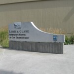
After our hike out to (and back from) the Cape Disappointment Lighthouse we left our vehicle where it was and walked in the opposite direction to the Lewis & Clark Interpretive Center.
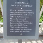
The path was paved the whole way, and alongside were some signs featuring tidbits about the region.
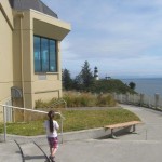
When we got to the top, we could see the lighthouse we were just at.
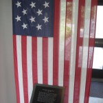
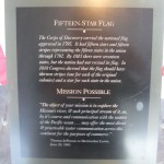
In the entryway to the Interpretive Center you see a very cool flag. No, it’s not the original, but still evocative.
Inside is a timeline you can walk through with journal entries and pictures. I really liked it, and it is highly informative, providing you a sense not only with what they went through, but just how long it took.
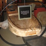
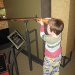
At the bottom of the walk is an exhibit with replicas of items they carried and used. I did not realize how many books they brought along (field guides, journals, etc.). It wasn’t just Lewis and Clark and a couple of others, there was a large party making the trek out west.
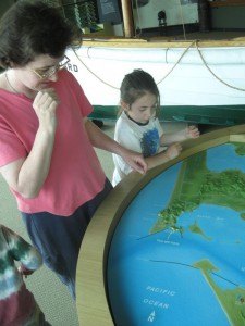
After this section it’s back up top to a different interpretive center for the region, looking at life since (sort of) Lewis & Clark made their way out here. One of the items in this section is a relief map of the Columbia River mouth with dates and locations of campsites the Lewis & Clark party established. Many of these were for one night, some for a few days, a few for weeks. Piecing them together by “connecting the dots” and remembering what was written about the weather other local conditions really provided a great snapshot back in time.


